Close

Shop All:Nystrom
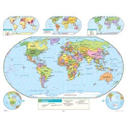
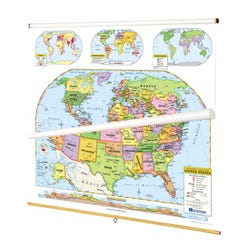
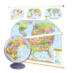
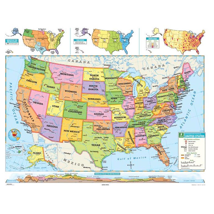
Nystrom Intermediate U.S. Map

About This Item
Description
For middle school and upper elementary students, this map strikes a balanced level of detail: complex enough to enrich a student's world, simple enough to focus on what is most important. Contrasting colors make the U.S. states easily visible. The map shows shaded relief, capital and major cities and longitude and latitude.
Shipping Type:
parcel
Free Shipping:
true
Specifications
Allergens:
Contains No Allergens
Maximum Grade Level:
Grade 5
ISBN Number:
9780782508925